FAQs
What Are Area Structure Plans?
Area Structure Plans give detailed policy direction to areas of the County where development is more intense in use and more technically complex. Policies in ASPs can address land uses, development phasing, population density, transportation routes, and the location of public utilities among others.
Why is the County Doing this Project?
The County’s existing Area Structure Plans vary in scope, level of detail, and technical background. This lack of consistency creates barriers and uncertainty for the public, applicants, and County staff which can create delays during the development process.
What is the County Proposing?
Development Area Policies (DAPs) – New policies in the County’s Municipal Development Plan (MDP). These policies will provide clarity and context sensitivity, including direction for Area Structure Plan, Conceptual Scheme, and Master Site Development Plan requirements.
Area Structure Plans – Either rescind the existing Area Structure Plan if it no longer meets the needs of County and its residents or update the ASP to focus on the most in-demand and complex development areas. This approach will make Area Structure Plans simpler, more consistent, and easier to maintain.
Where do Development Area Policies and Area Structure Plans Fit in the Planning Hierarchy?

Why is the Woodbend-Graminia Area Structure Plan being Rescinded?
The Woodbend-Graminia Area Structure Plan (ASP) is one of the County's oldest Area Structure Plans, dating back to 1984. The Woodbend-Graminia ASP has not been substantially updated since its adoption, and conflicts with the policy direction in the County’s Municipal Development Plan (MDP) and the regulation in the County’s Land Use Bylaw (LUB).
The new River's Edge Development Area Policies within the MDP will provide additional policy direction for the Woodbend-Graminia area, while ensuring the County's planning process is as clear and user-friendly as possible.
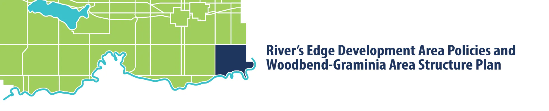
Where is River's Edge in the County?
River's Edge Development Concept Area is bounded by the City of Edmonton to the east, Range Road 271 to the west, Provincial Highway 627 to the north, the North Saskatchewan River Development Concept Area to south. As a part of this project, the boundary for River's Edge is proposed to be extended south to the North Saskatchewan River itself to align with the boundary of the Woodbend-Graminia Area Structure Plan.
